The Central Eastern Alps
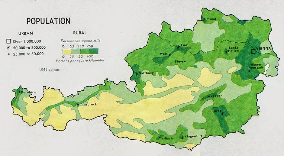
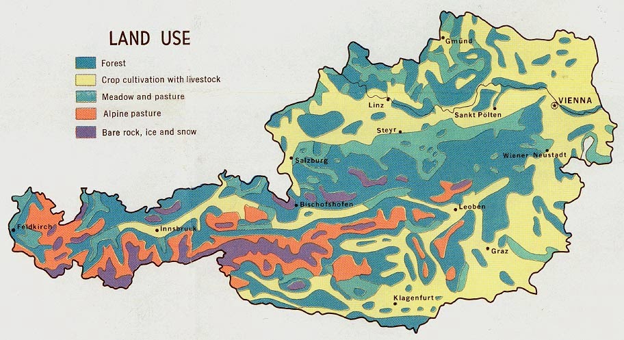
 Taking up most of Austria, the Central Eastern Alps are known around the world for their picturesque beauty. When most think of the Alps they think of goat herds, and yodelers, but that's not all there is to it. It is known for it's history of pilgrimage of everyday folk to soldiers during wartimes. It is also full of legends such as Krampus, a horned figure who accompanies Santa Claus and punishes the bad children.
St. Stephen's Cathedral, Vienna
A beautiful landmark of Vienna, the St. Stephen's Cathedral has been around since 1147 AD, and is the heart of the well known city. It is one of the very few gothic cathedrals that was finished at such an immense height during the Middle Ages. Being old as it is, it has many intriguing qualities about it, such as the bread loaf sized indent at the side of the main entrance, that was once used to measure loaves of bread by dissatisfied customers, and the incomplete northern steeple, that has a possible love story intertwined with it....
The Golden Strauss Statue
Found in Stadtpark, a local park in Vienna, is the Golden Strauss, a statue that represent Johann Strauss playing a stringed instrument. Originally bronze, it was gilded in the 20th century. A wonderful picture opportunity it is now considered to be the most famous statue of any musician in the world.


